Main Content
Intermediate GIS users are invited to further develop their skills related to editing tasks and data management processes during this 12-hour online evening course.
Course Status Notice – Not Scheduled
We do not have an offering of this course scheduled at this time. Please join our email list to be notified when the next offering is scheduled!
Jump to: Overview | Instructor | Reviews | CE Credits | Contact Us | Related Courses | Join Email List
Course Details
Course Name: ArcGIS: Editing and Data Development
Course Code: EG0915WA26
Date of Most Recent Offering: May 6, 13, 20 & 27, 2026
Course Overview
If you have completed the ArcGIS: Introduction course or if you are familiar with the toolbars and basic functions of ArcMap and ArcCatalog, you are qualified to take this course. This course will guide you through real-world editing tasks and data management processes that are vital for intermediate GIS users to know.
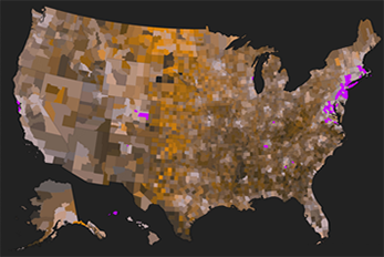
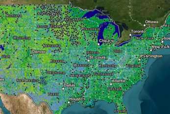
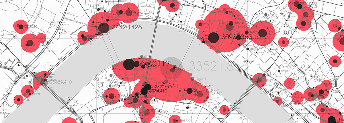
Featured Topics
- Creating Buffers
- Geocoding Services and Address Geocoding
- Editing Shapefiles
- Digitizing in ArcMap
- Georeferencing in Aerial Photography
- Digitizing a Parcel Map in ArcMap
- Coordinate Transformation
- Displaying Tabular X,Y Data and Creating a Relate
- Working with CAD Drawing
ArcGIS Pro Software Access
All participants in this course will receive access to the ArcGIS Pro software during the class and for six months following the conclusion of the course.
Prerequisite
ArcGIS: Introduction (or equivalent experience)
Who Should Attend?
This class is a great source of information for anyone who wants to build upon their existing skills and gain more experience with the capabilities of ArcGIS Pro. Past participants have included:
- CAD Operators and Technicians
- Database Programmers
- Engineers
- Environmental Scientists and Consultants
- Flood Zone Researchers
- GIS Specialists
- IT Managers
- Licensed Site Remediation Professionals (LSRPs)
- Project Managers
- Water Operators
Meet Your Instructor
Chris Klaube, Solutions Architect at Langan Engineering and Environmental
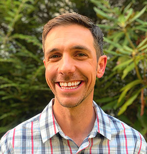
Chris Klaube is an experienced GIS professional and software engineer with a Masters in Geographic Information Systems. He has a deep knowledge of the Esri software suite and enterprise GIS systems, as well as web development using the Esri SDK’s. Chris has worked in various roles within GIS for the last 14 years, including as a GIS analyst, GIS systems administrator, and developer. Chris currently works as a Solutions Architect for Langan Engineering and Environmental, where he is primarily involved in GIS enterprise management, cloud services and custom application development.
Student Reviews
“This class was informative and professional. I can utilize this information at work to enhance our productivity and mapping capabilities. Thank you!”
– Lyssa Cousineau, Handex Consulting & Remediation, LLC
Environmental Scientist“Good hands-on exercises which really helped me to work efficiently with ArcGIS Pro.”
– Past Participant
Most useful aspect of the course: “Comprehensive overview of editing skills with enough resources to practice individually.”
– Past Participant
Continuing Education Credits
The most recent offering of ArcGIS: Editing and Data Development was approved for 1.2 Rutgers CEUs, as well as the following credits from professional organizations. We will reapply for similar credits the next time the course runs, but we cannot guarantee credit approval for future offerings.
 New Jersey
NJ Drinking Water and Wastewater Operators: 10 TCHs
NJ Health Officers and Registered Environmental Health Specialists (HO/REHS): Rutgers University, NJAES, Office of Continuing Professional Education has been approved by the New Jersey Department of Health as a provider of NJ Public Health Continuing Education Contact Hours (CEs). Participants who complete this education program will be awarded 12.0 NJ Public Health Continuing Education Contact Hours (CEs).
NJ Land Surveyors (NJLS): 12 credits
NJ Licensed Site Remediation Professionals (LSRP): 4 Technical CECs
NJ Professional Engineers: 12 Continuing Professional Competency (CPC) credits
 New York
NY Professional Engineers/Land Surveyors: 12 PDHs
Program Questions? We’re Here to Help!
If you have any questions about ArcGIS: Editing and Data Development, please don’t hesitate to reach out to us.
Senior Program Coordinator: Suzanne Hills
848-932-7234
suzanne.hills@rutgers.edu

Administrative Assistant: Samantha Thompson
848-932-7764
samantha.thompson9@rutgers.edu
For registration assistance, please contact our Registration Department at 848-932-9271, option 2 or email registration@njaes.rutgers.edu.