Main Content
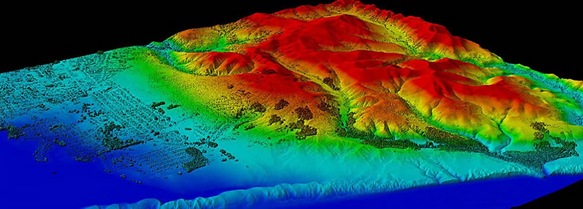
NEW COURSE! Learn the fundamentals of remote sensing and how drone, aerial, and satellite data are used to support decision-making in engineering, urban planning, and environmental fields.
NEW COURSE!
This brand new course has just been added to our GIS / Geomatics Mapping program area. Sign up today and be one of the first to take it!
Jump to: Register | Course Details | Overview | Instructor | CE Credits | Policies | Contact Us | Related Courses | Join Email List
Register Now
Pay with Credit Card:
Pay with Check, PO, or Money Order:
Course Details
Course Name: Remote Sensing: The Basics and Professional Applications
Course Code: EG0706WA27
Date: January 7, 14, 21, and 28, 2027 (Four Consecutive Thursdays)
Time: 6:00 pm – 9:00 pm EST (Log-in time: 5:45 pm)
Office hours are held the Tuesday after each class.
Location: Online
Format: Live, instructor-led
Registration Fee: $1,050 per person
Early Bird Discount Fee: $995 per person (expires December 23, 2026)
Registration Closes: January 1, 2027
Paying with a check, money order, or purchase order?
Payments should be made out to: Rutgers, The State University of New Jersey
Checks and money orders should be mailed to: Office of Continuing Professional Education, Attn: Registration Dept., 102 Ryders Ln, New Brunswick, NJ 08901-8519
Purchase Orders can be mailed to the address above or electronically sent to registration@njaes.rutgers.edu.
Course Overview
Learn the fundamentals of remote sensing science, systems, and how they are applied in different industries, such as engineering, urban planning, and the environmental sciences. This 12-hour online evening course is for professionals or aspiring professionals in fields that utilize remote sensing data from drones, airplanes, and satellites to conduct analysis, prepare reports, and make decisions.
Participants will gain both scientific understanding of what can be interpreted from remote sensing data and technical training in (1) aerial image assessment for site characterization and planning, (2) drone image processing and analysis, (3) land cover/land use change analysis, and (4) modeling of the built environment and urban infrastructure.
ArcGIS Pro Software Access
Your registration fee includes access to ArcGIS Pro software for a total of six months.
Prerequisite
To get the most out of this course, students should have a basic understanding of Geographic Information Systems (GIS) concepts.
Who Should Attend?
- GIS professionals looking to expand into remote sensing;
- Engineers and planners working with spatial data;
- Environmental scientists and analysts;
- Students and early-career professionals seeking applied skills
Meet Your Instructor
Geoffrey Fouad

A lecturer of earth sciences, Geoff is a passionate educator of all ages. He also teaches K-12 STEM education and geospatial workshops, in particular for underrepresented populations. Geoff broadly applies geospatial technology and statistical methods (“machine learning”), with a particular focus on water resource studies. Geoff’s academic training is in hydrology and more generally physical geography, holding a PhD from the joint doctoral program of San Diego State University and UC Santa Barbara.
Continuing Education Credits
The Remote Sensing: The Basics and Professional Applications course is approved for 1.2 Rutgers CEUs (12 contact hours), as well as the following credits from professional organizations.
 New Jersey
NJ Certified Public Works Managers (CPWM): 3.0 Management, 5.0 Technical Contact Hours
NJ Drinking Water and Wastewater Operators: 10.66 TCHs
NJ Health Officers and Registered Environmental Health Specialists (HO/REHS): Rutgers University, NJAES, Office of Continuing Professional Education has been approved by the New Jersey Department of Health as a provider of NJ Public Health Continuing Education Contact Hours (CEs). Participants who complete this education program will be awarded 12.0 NJ Public Health Continuing Education Contact Hours (CEs).
NJ Licensed Site Remediation Professionals (LSRP): 10 Technical CECs
NJ Professional Engineers: 12 Continuing Professional Competency (CPC) Credits
 New York
NY Professional Engineers/Land Surveyors: 12 PDHs
Course Requirements and Policies
 Technology Requirements
This online course will be delivered via Canvas and Zoom. After you register, you will receive an email from “Rutgers University Canvas” prompting you to click a link to finish setting up your Canvas account. If you do not see this message in your inbox, please check your junk/spam folder.
Registrants will receive more information as we move closer to the course date, including Zoom links to join the live sessions.
Equipment you will need to access this training:
- Laptop or desktop computers are required for this class.
- Speakers and microphone are not necessary as a call-in option is available.
Mac Users please note the following minimum hardware recommendations to use ArcGIS Pro on a Mac:
- A quad-core Intel Processor or M-Series (Apple Silicon) Processor
- 256 GB Storage
- 8 GB RAM or more
- Click here for more recommendations for running ArcGIS Pro on MAC
 Email Requirement
A unique email address is required for each registrant to register and access our courses.
- If this is your first time registering with us, please provide your own unique email address when registering; do not provide an email address that you share with co-workers.
- If you have previously taken classes with us and have used an email address that you share with your co-workers or supervisor, your account must be updated with a unique email address. To do this, please send an email to us at registration@njaes.rutgers.edu stating that your email address needs to be changed and include:
- Your full name
- The shared email address that needs to be changed
- Your unique email address
- A phone number where you can be reached if we have any questions
 Photo ID Requirement
Some registrants may be required by the applicable crediting agency to provide a photo of themselves holding a government-issued photo ID in order to receive credit for participating in this online course.
- You will receive a reminder email prior to the start of the class with further instructions. Wait to receive these instructions before you attempt to upload your ID.
- The photo must be clear enough that we can read your name and verify that the person pictured on the ID is in fact the person holding it.
- After an OCPE staff member reviews the picture and verifies your identity, you will have access to participate in the course when it begins.
 Cancellations and Substitutions
A $100 cancellation fee applies for this course. Substitutions are permitted. View our cancellation policy.
Program Questions? We’re Here to Help!
If you have any questions about Remote Sensing: The Basics and Professional Applications, please don’t hesitate to reach out to us.
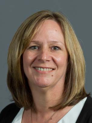
Senior Program Coordinator: Suzanne Hills
848-932-7234
suzanne.hills@rutgers.edu
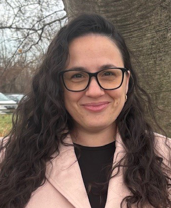
Administrative Assistant: Samantha Thompson
848-932-7764
samantha.thompson9@rutgers.edu
For registration assistance, please contact our Registration Department at 848-932-9271, option 2 or email registration@njaes.rutgers.edu.